Great Geology Lunch Spots No.2: Garmony, Isle of Mull
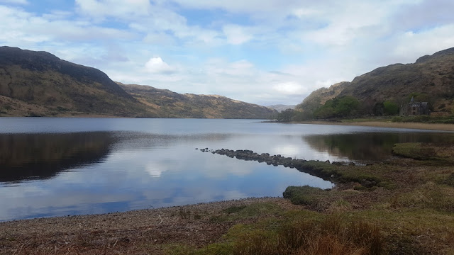
The Forestry Commission car park at Garmony is a great place to stop for lunch. There are excellent views over to Morvern across the Sound of Mull. There are also some interesting geological things to see on the shore. Since a picture is worth a thousand words, here are some photos from today:
Looking across to Morvern, a really obvious revers fault runs through the lavas. According to the map there is also an outcrop of Carboniferous rocks on the shore near there - the most northerly Carboniferous in Britain apparently. Never been to it but looked over often enough!
Looking the other way, Dun Da Ghaoithe rises above - snow melting fast
There is a sign telling you about the area (nothing about the geology though!)
Walking along the path takes you to Fishnish - on the way at the shore there is an outcrop of a rock that is marked on the BGS map as a "fluxion felsite". It is intruded into Lower Jurassic rocks that are part of the Craignure Anticline / Syncline. The banding in it is very pronounced. Here are a few pictures to show it. There are also a lot of granite pebbles and boulders around, probably from the Strontian complex
A loose block and a granite pebble
In situ
Another loose block
Its an unusual looking rock - very lightweight as well. Not surprising since it is felsitic. According to the map, the intrusion is dyke like, intruded along a fault and it becomes a granophyre inland. The rock on the shore looks very like the craignurite that is found in the Craignure area.I had a thin section made of the "fluxion felsite" some time ago. From what I remember it was not particularly exciting under the microscope. I'll need to try to get a photo of it.
There is a neat granite erratic on the shore here, very like the one on the shore north and west of Fishnish. A biotite granite with large K-feldspar phenocrysts, probably from the Strontian complex
And then it was back to the car along the boggy saturated path. Streams are in spate as well with all the melting snow.


Comments